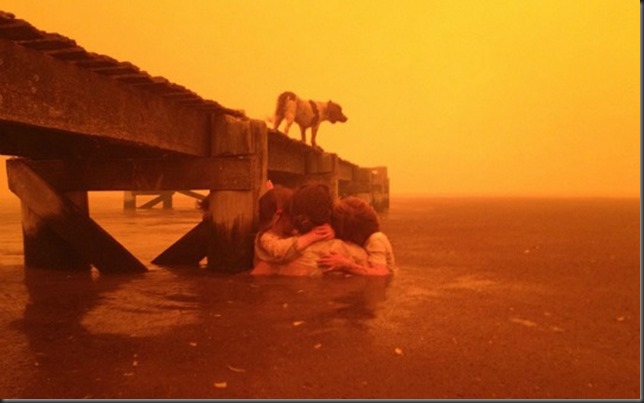
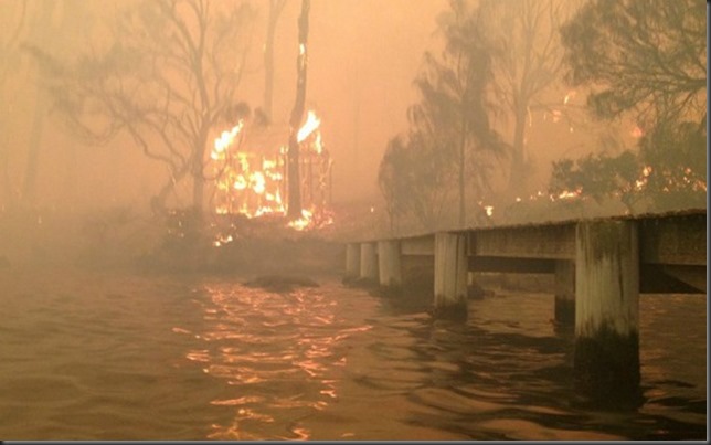
There are many news about the conditions in Australia these days, but I couldn’t resist posting a few pictures about the conditions.
Over the past couple of year parts of Australia have received more rain than normally due to a condition called La Nina. That resulted in more vegetation, which when it dries up, is fuel for wildfires.
And now that the wildfires seem to be receding, at least temporally, even though the conditions are still very dangerous. There is a cyclone, Narelle, approaching the NW-coast of Australia. The cyclone is clearly visible on a satellite image from today, 11 January 2013.

MODIS satellite image form 11 January 2013. Image courtesy of NASA Lance.
Then look at this incredible picture!
Taken about 25 nautical-miles NW of Onslow (which is pretty much directly south of the “eye” of the cyclone on the image above).
Photo: Brett Martin. Read more.
The following picture is close to being iconic for these wildfires. Some say it might even become a “poster child” for climate change. It is however always difficult, basically impossible, to say that single events like this are due to climate change. But, this is what we do expect !


No comments:
Post a Comment